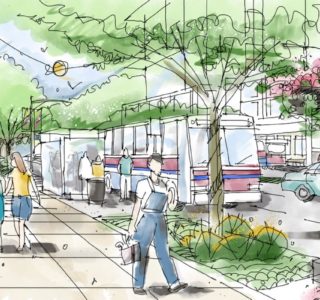
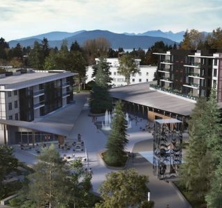
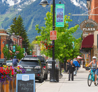
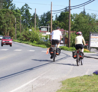
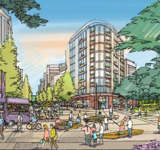
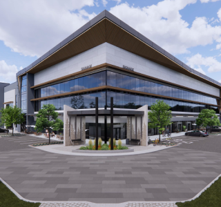
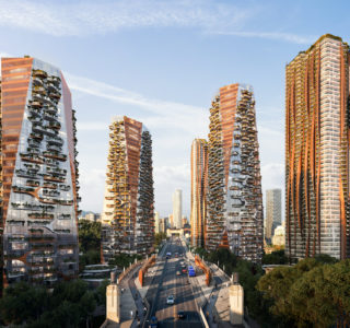
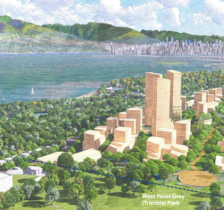
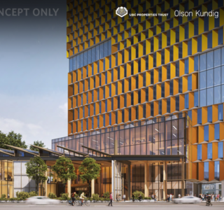
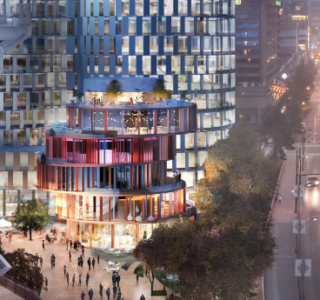
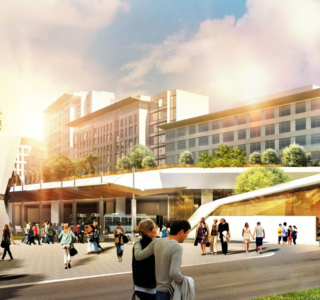
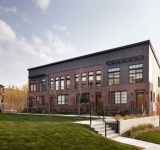
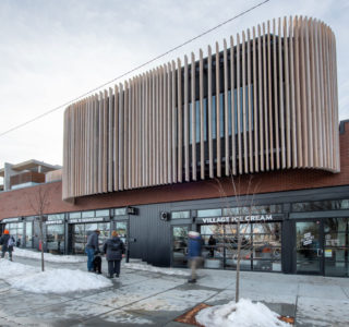
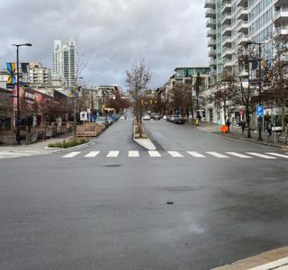
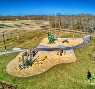
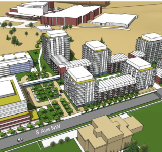
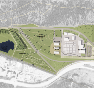
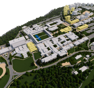
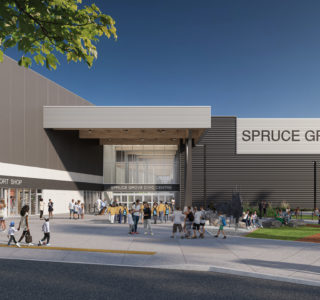
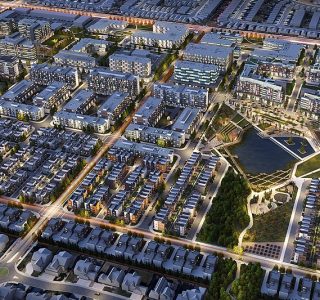
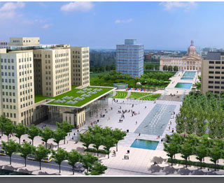
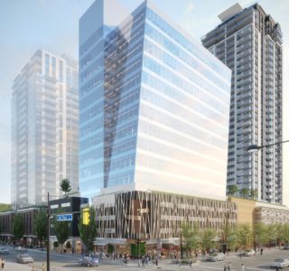
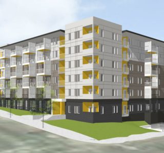
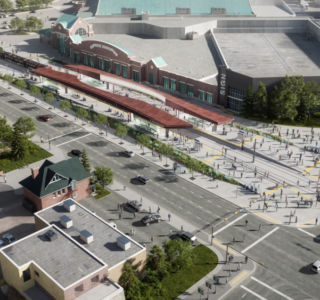
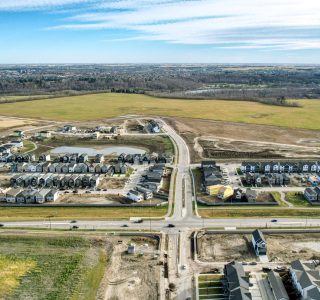
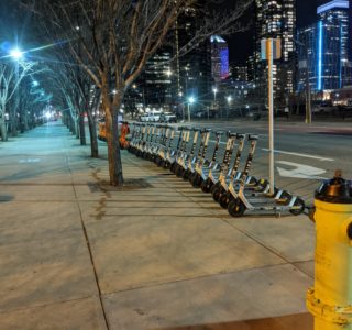
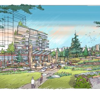
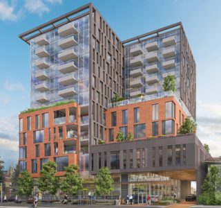
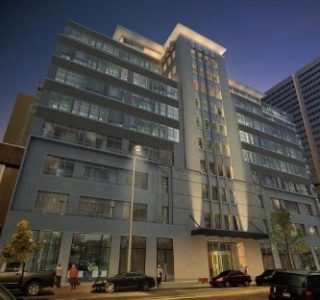
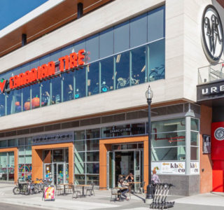
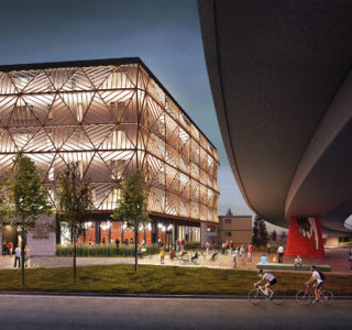
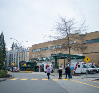
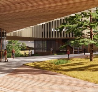
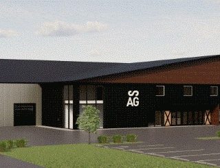
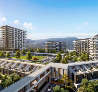
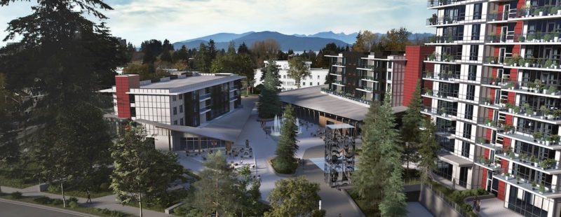
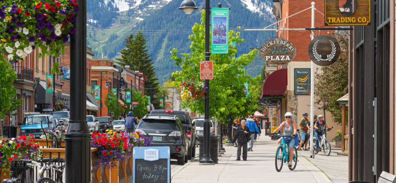
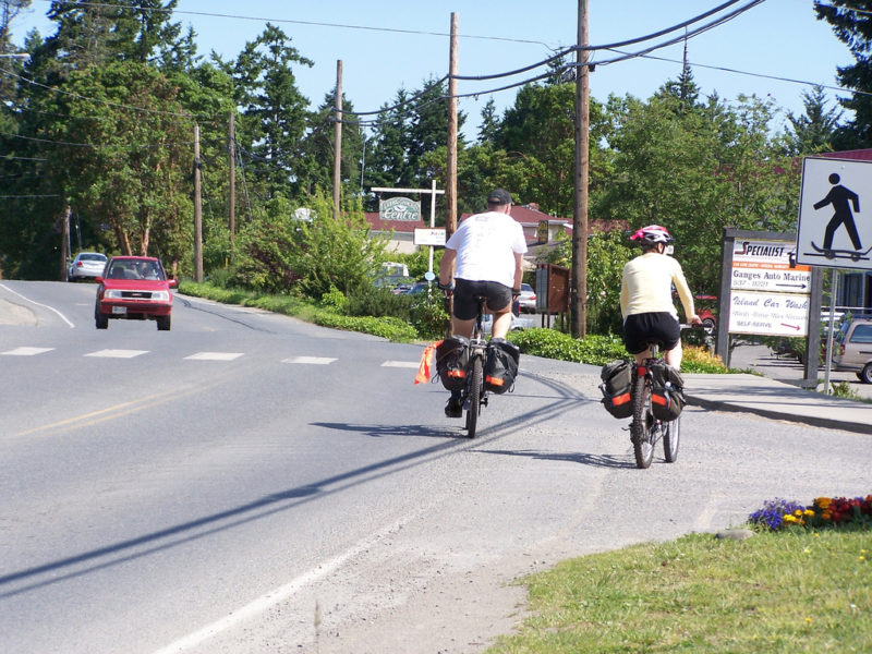
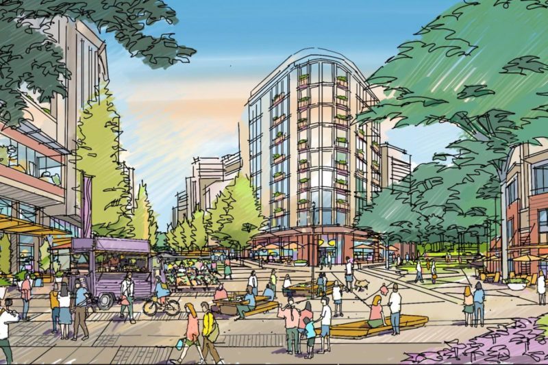
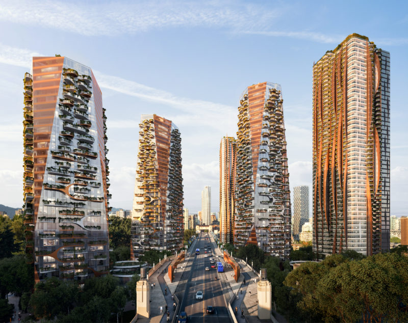
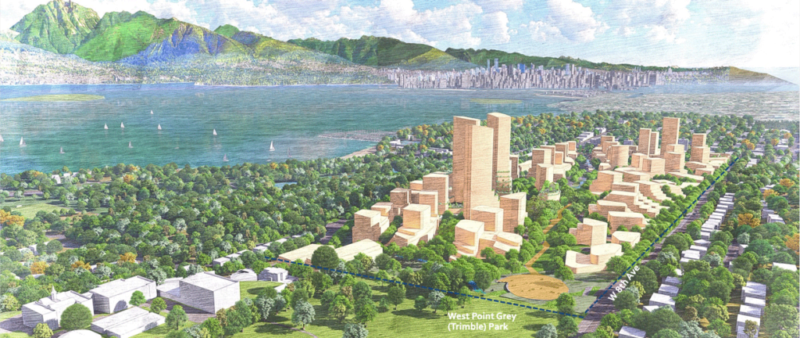
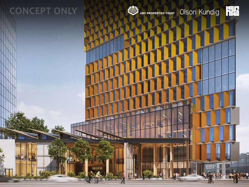
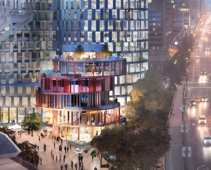
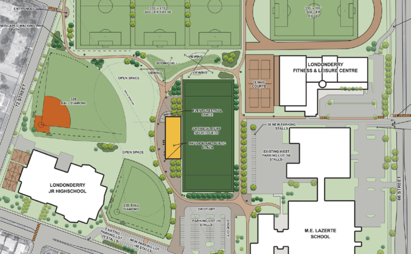
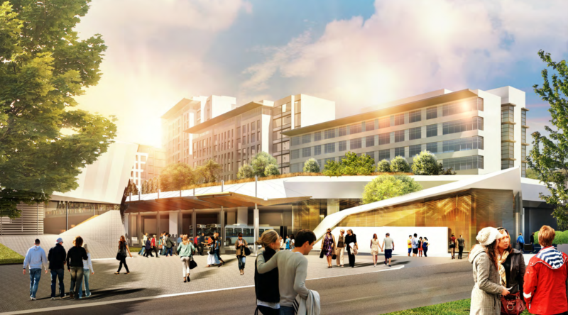
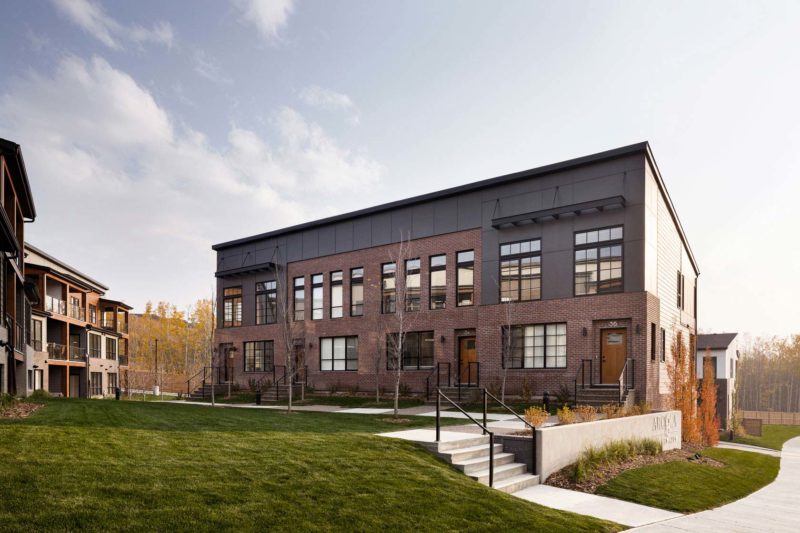
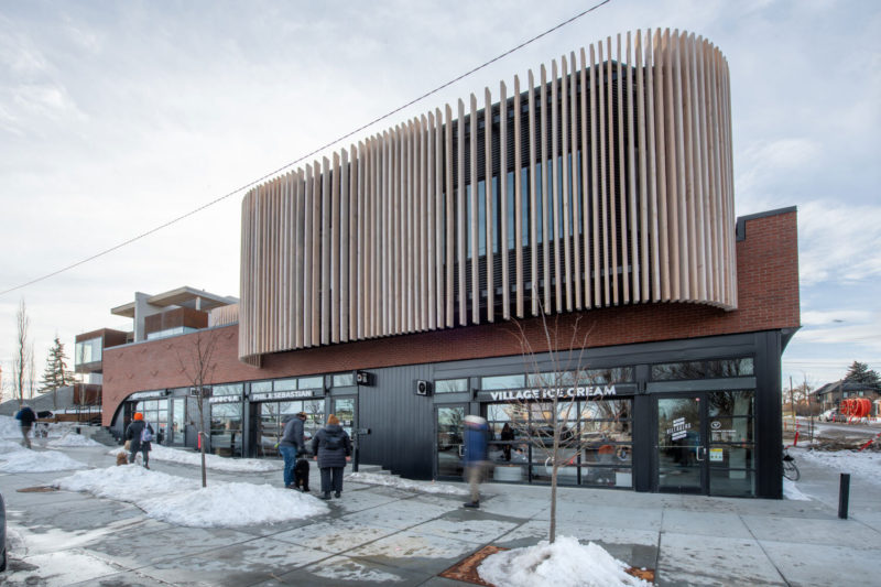
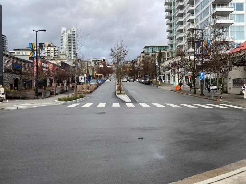
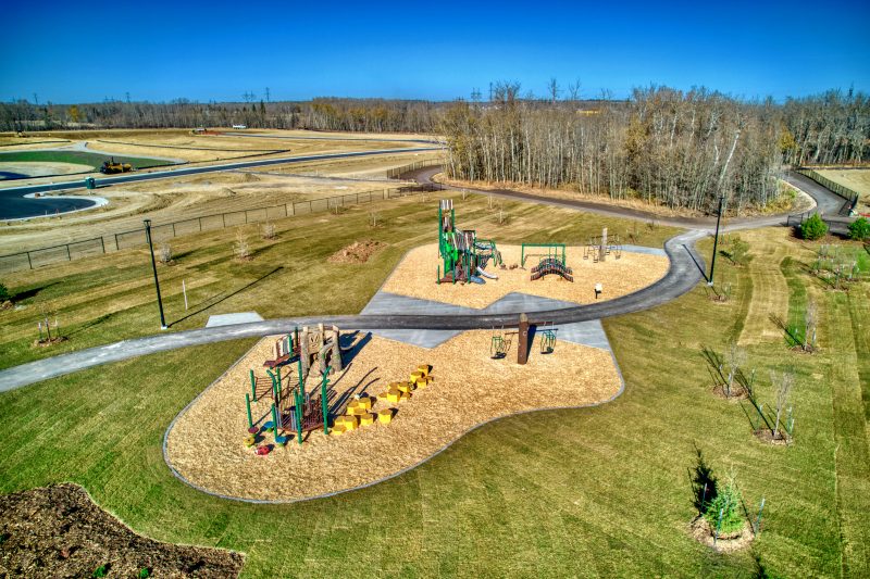
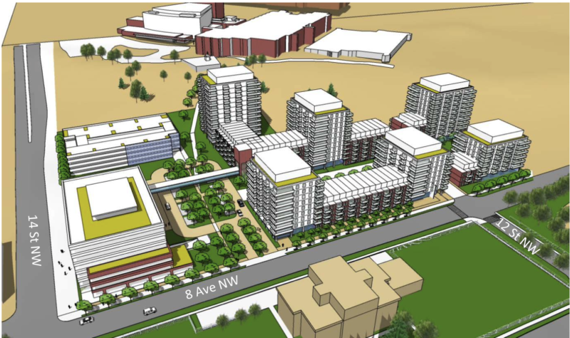
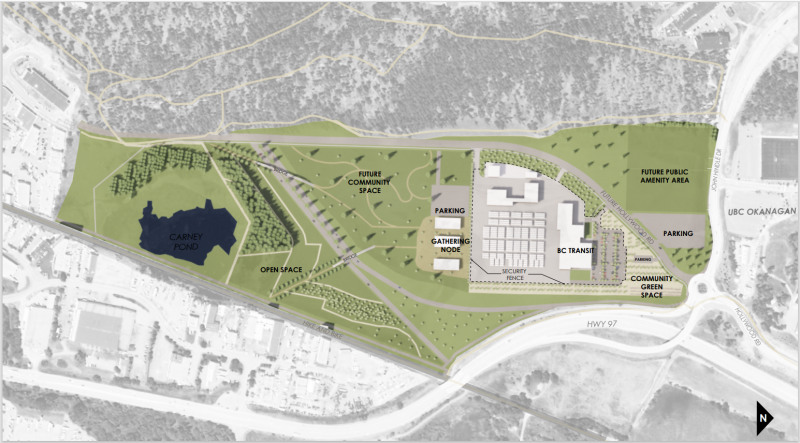
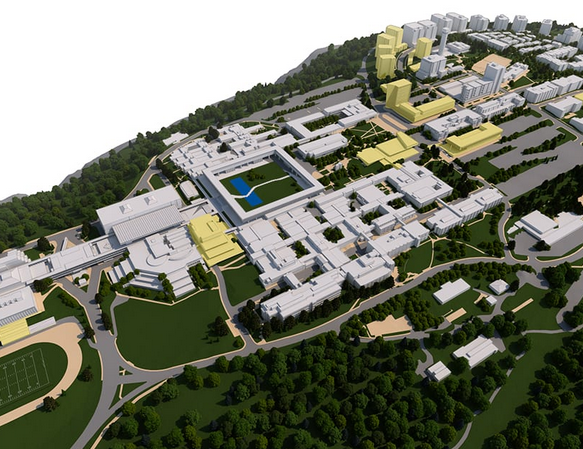
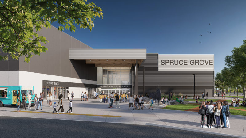
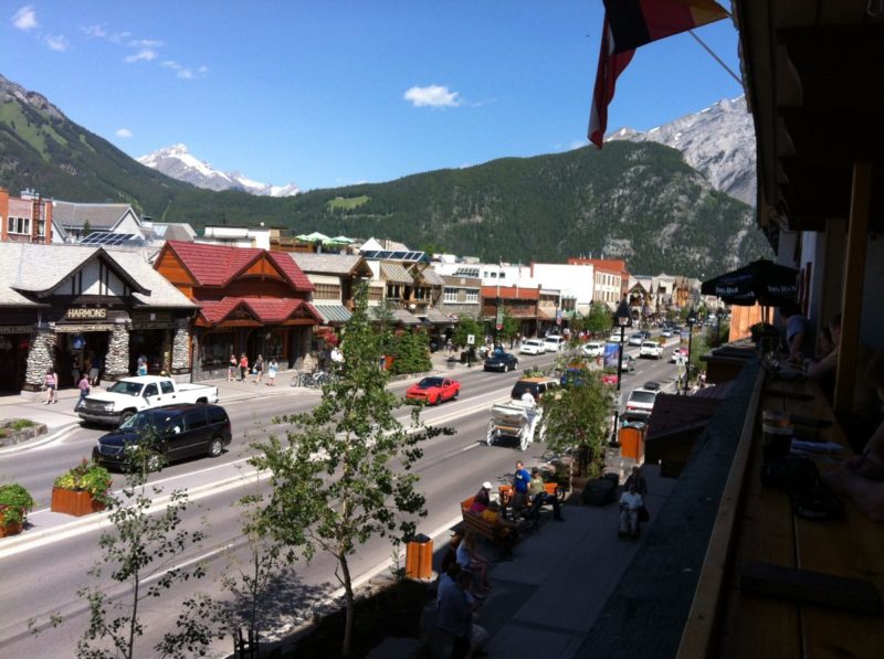
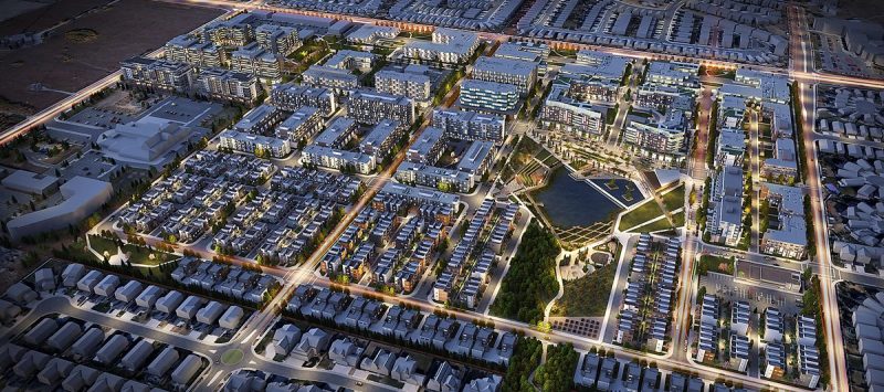
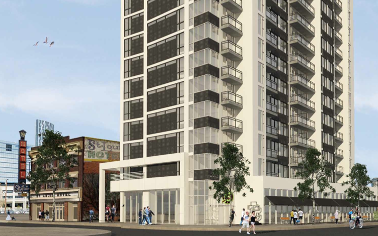
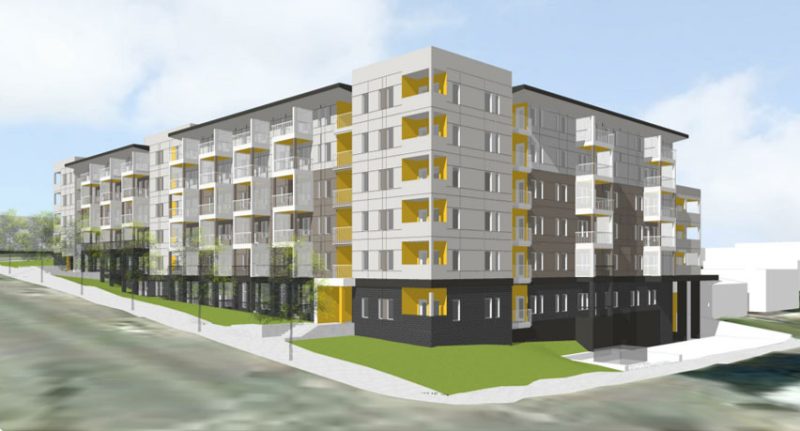
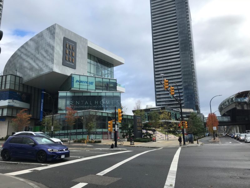
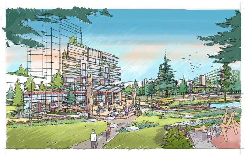
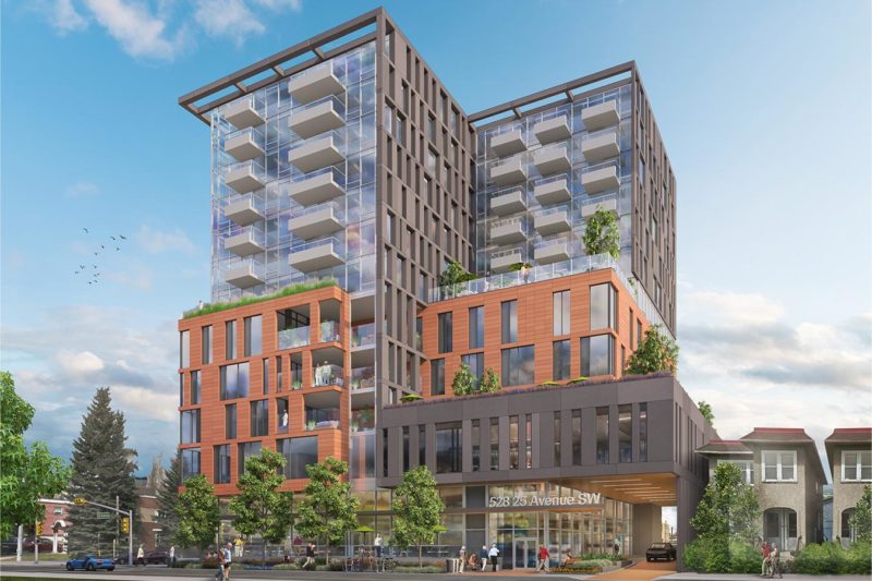
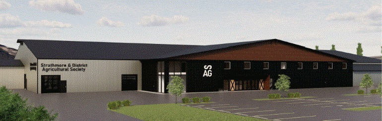
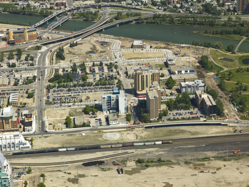
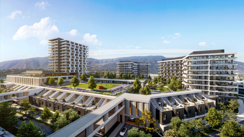
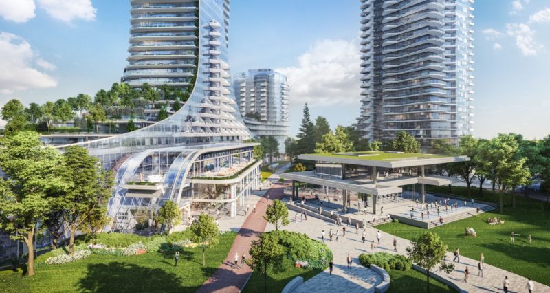
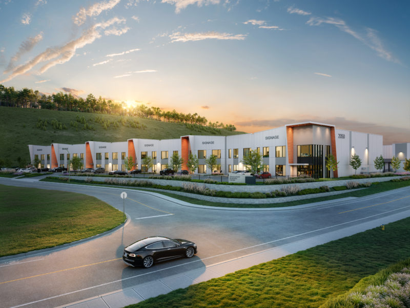
Diverse projects for diverse communities.
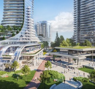
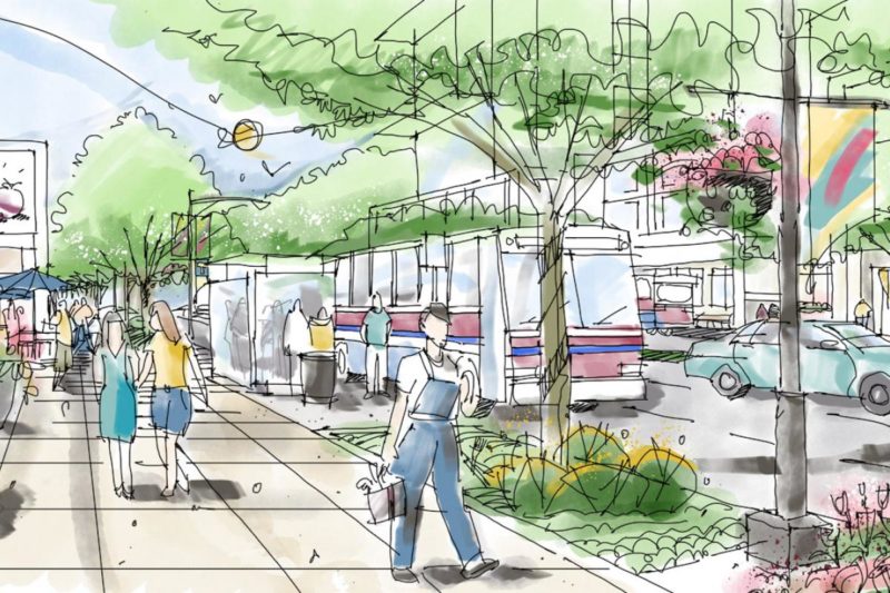
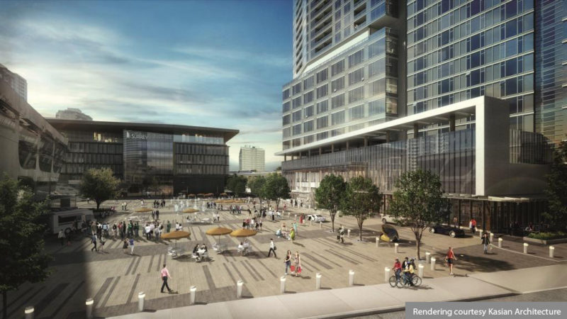
Our innovative solutions include all aspects of transportation engineering, parking, sustainable transportation planning, safety, design, and public participation. We work with both public and private sector clients to help achieve highly livable communities.
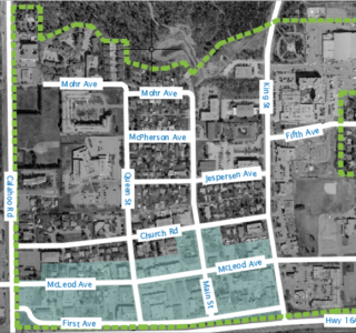
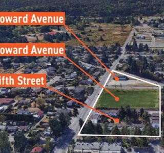
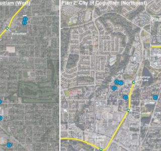
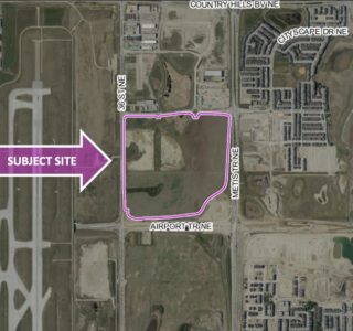
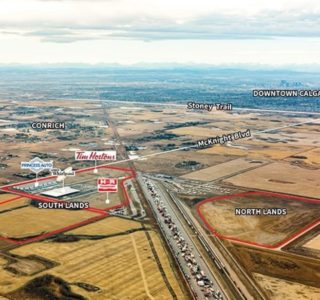
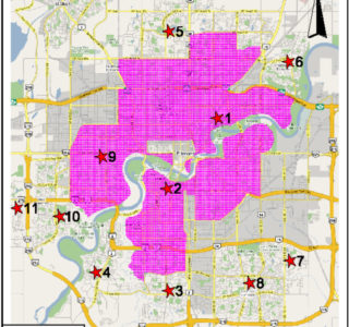
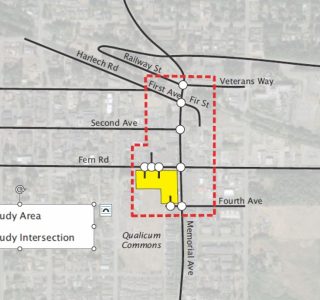
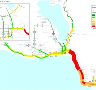
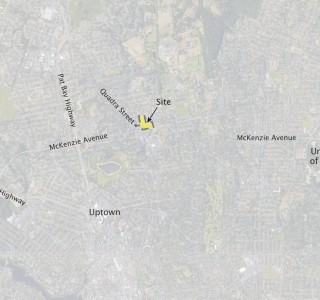
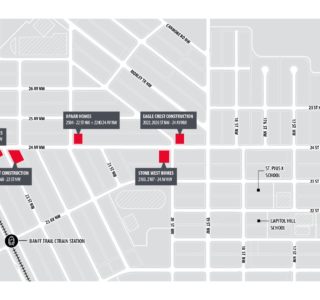
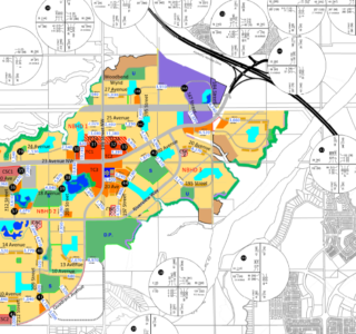
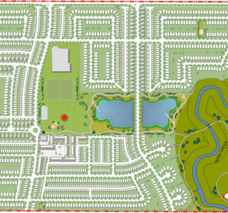
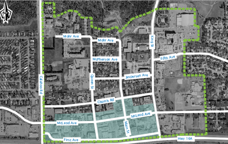
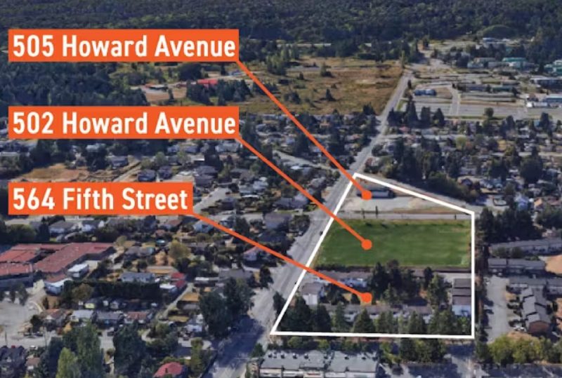
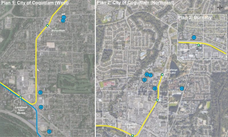
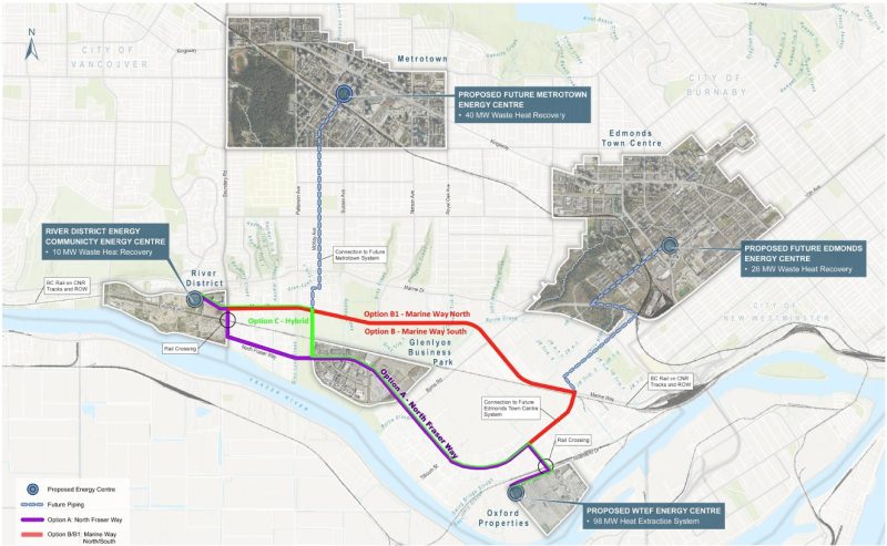
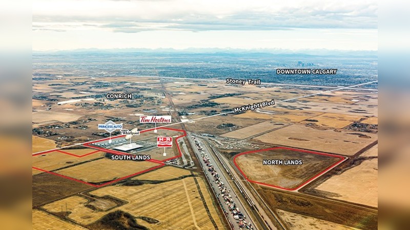
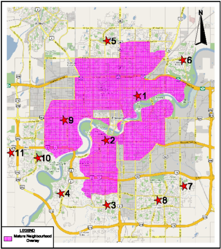
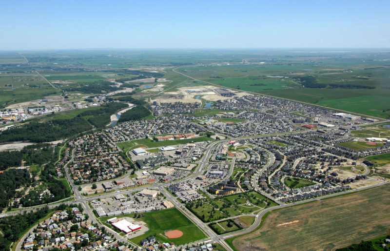
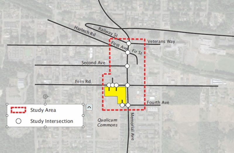
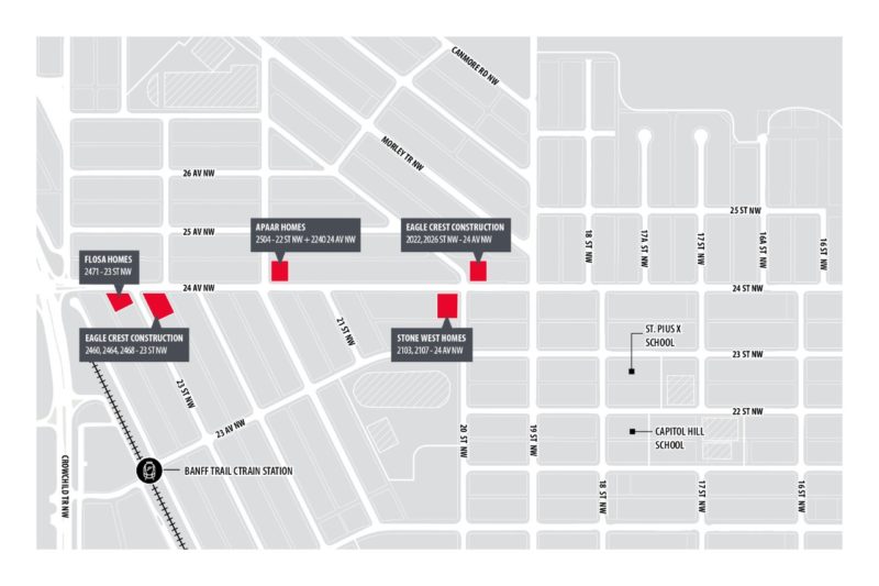
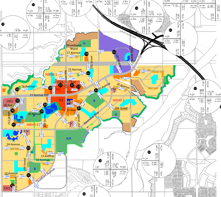
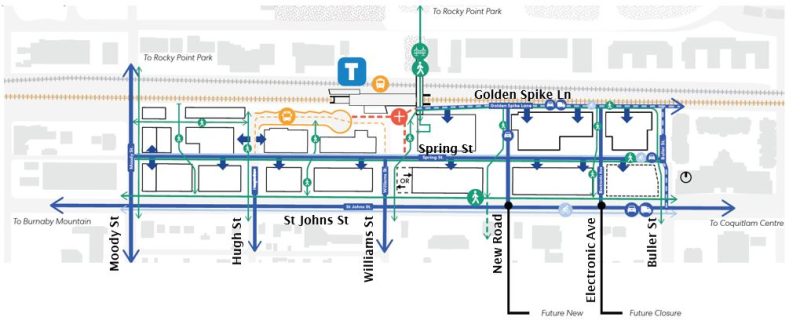
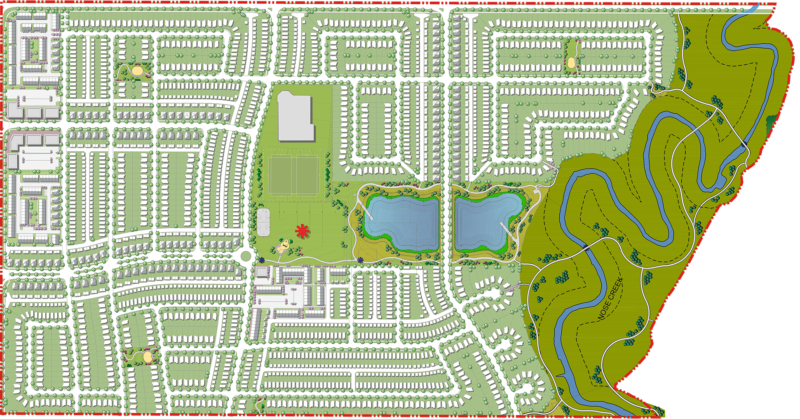
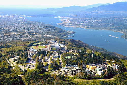
Where We Are – Zoom into the map to check out projects that we have been involved with in your community
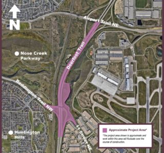
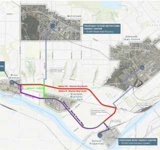
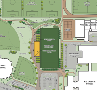
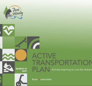
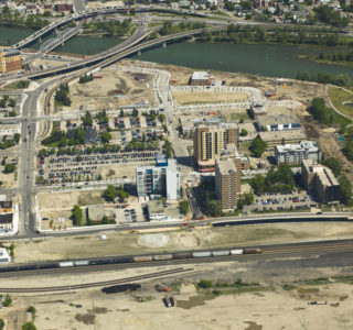
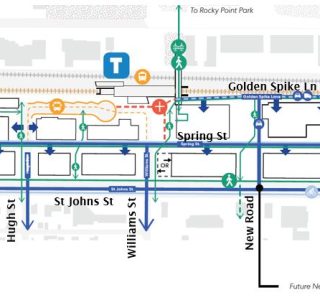
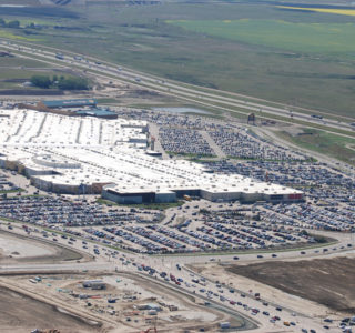
Bunt & Associates’ project experience extends from the West Coast to the Prairies. This interactive map pinpoints thousands of our many transportation planning and engineering projects that we have completed since 2017. The total continues to grow….
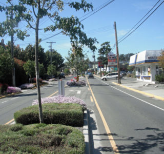
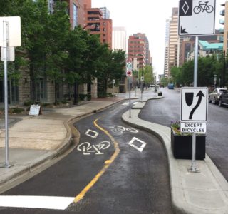
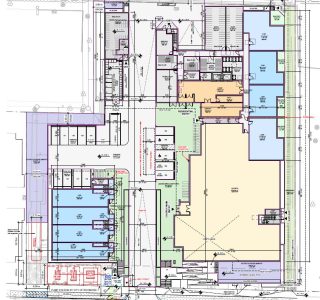
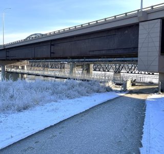
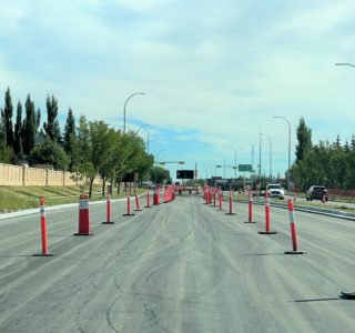
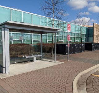
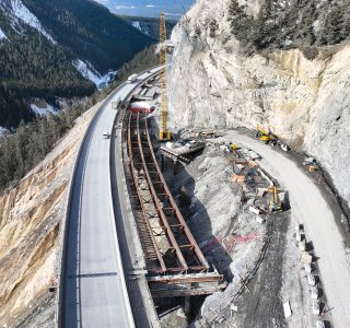
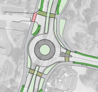
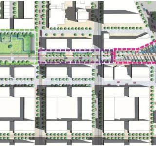
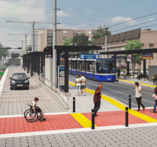
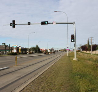
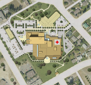
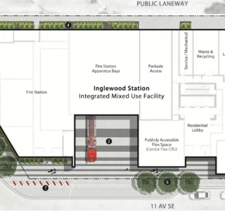
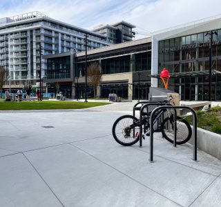
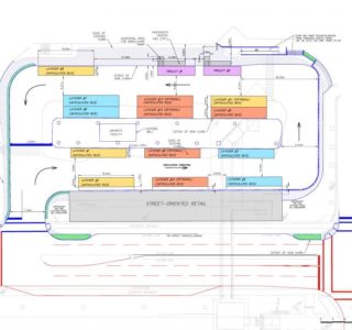
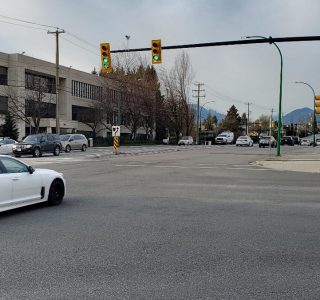
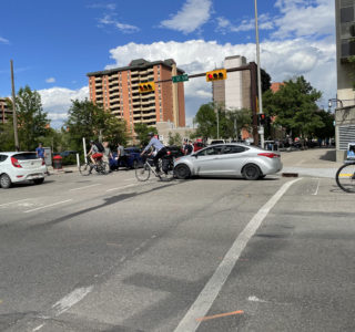
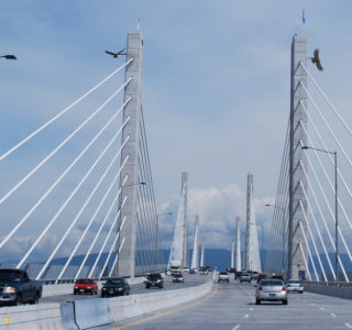
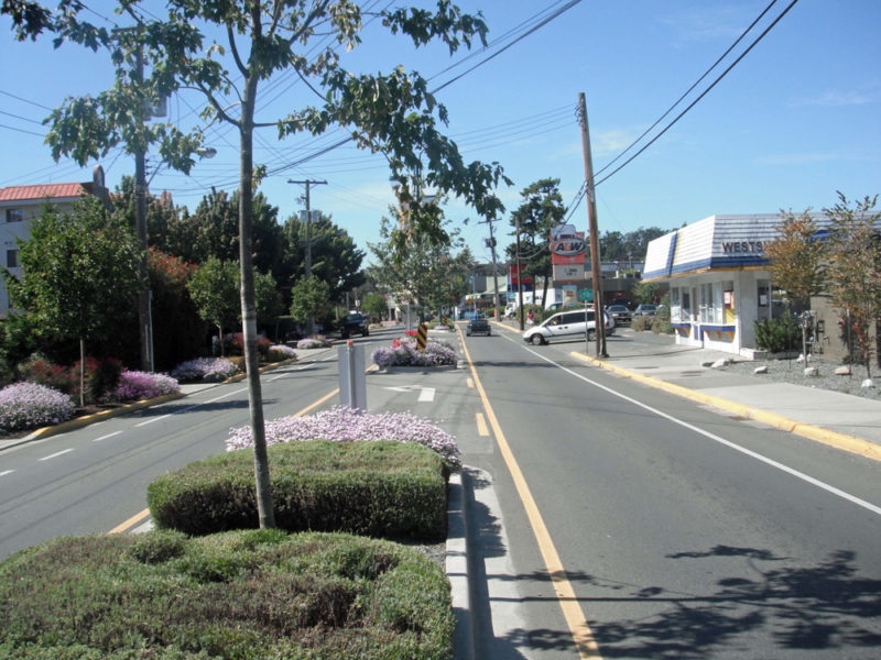
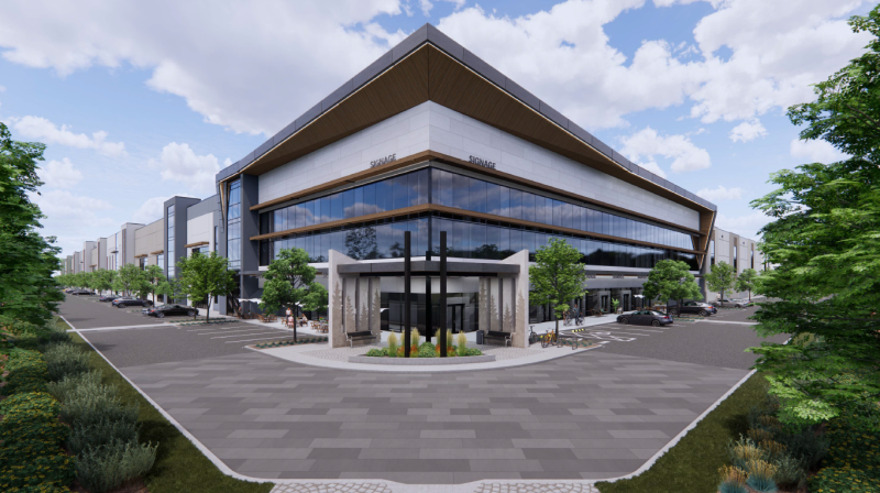
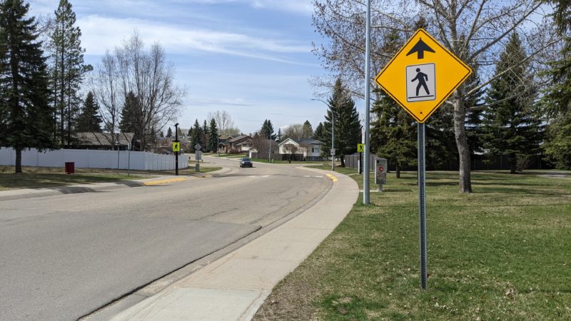
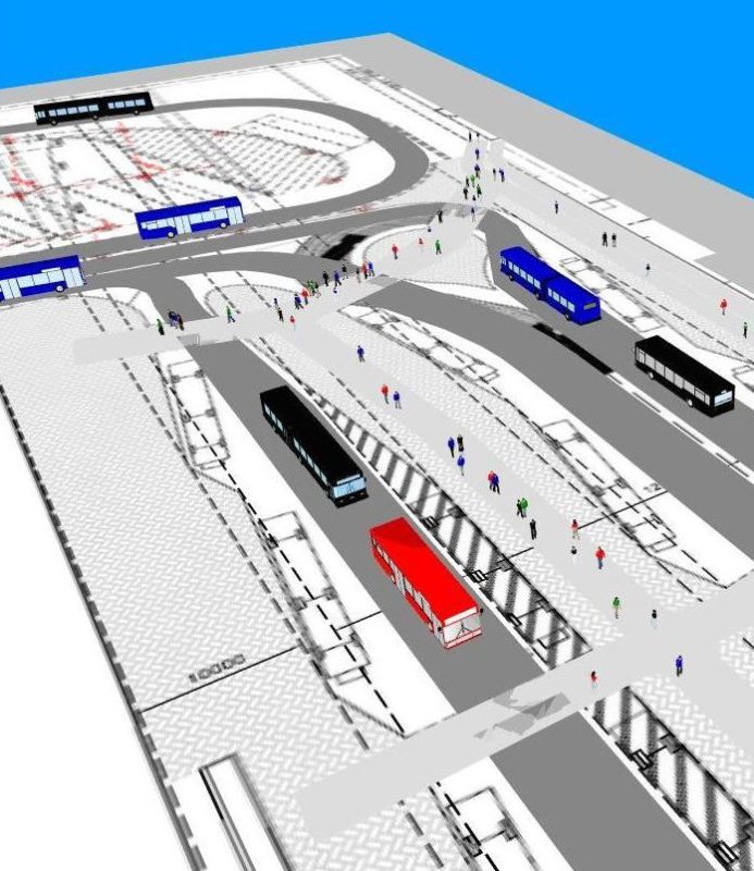
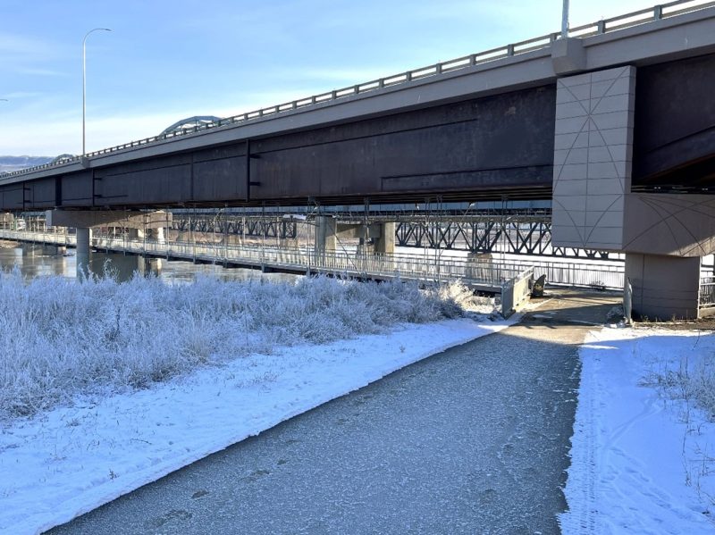
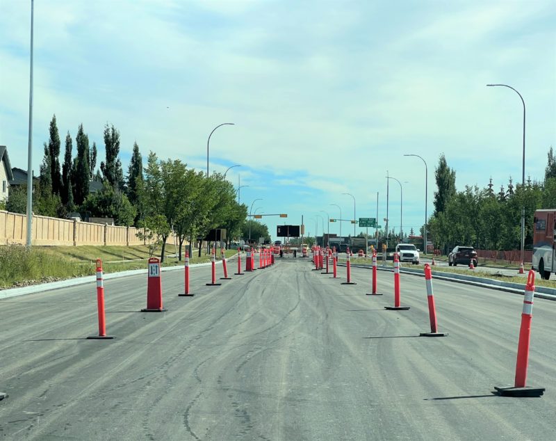
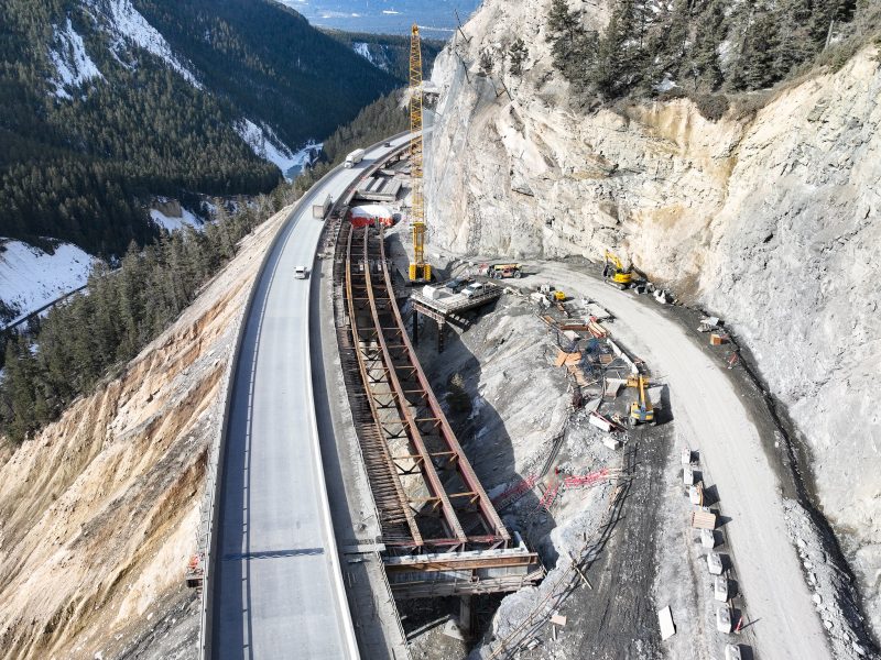
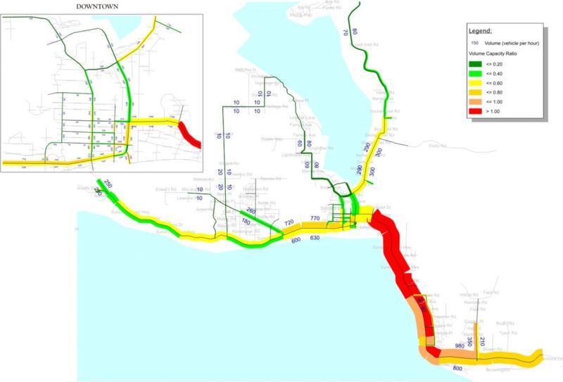
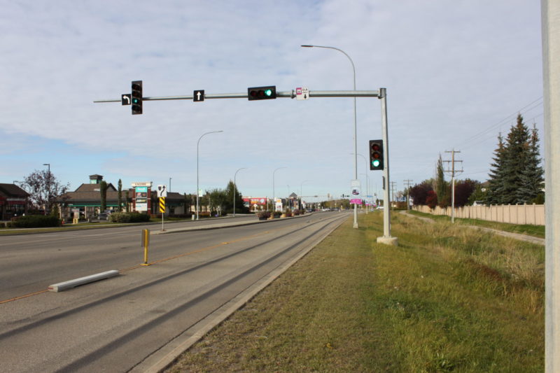
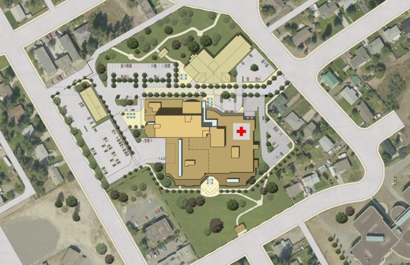
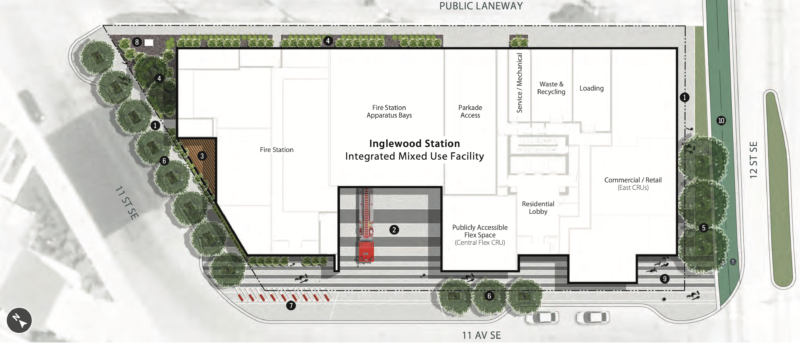
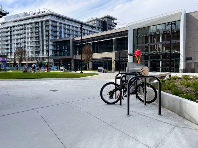
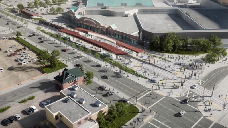
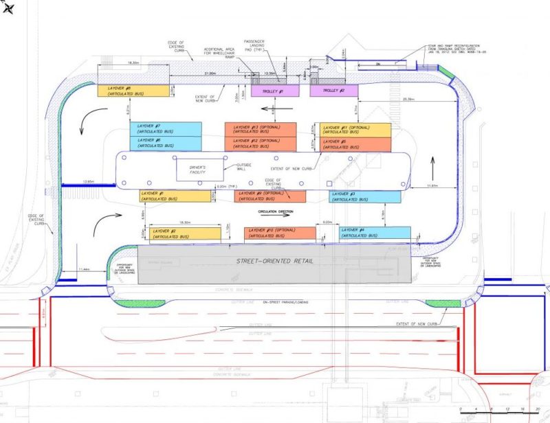
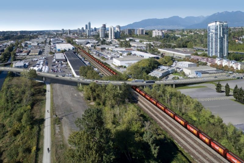
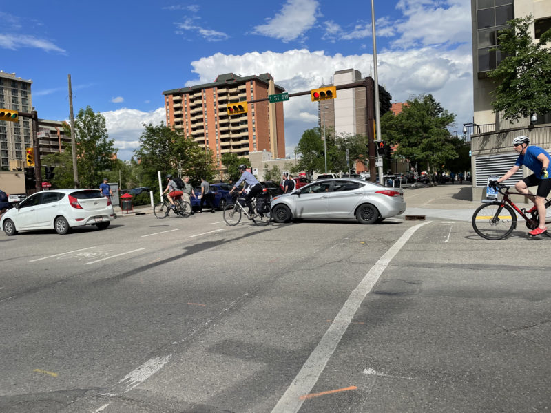
Transportation Engineering
Our innovative solutions include all aspects of transportation engineering, parking, sustainable transportation planning, safety, design, and public participation. We work with both public and private sector clients to help achieve highly livable communities.
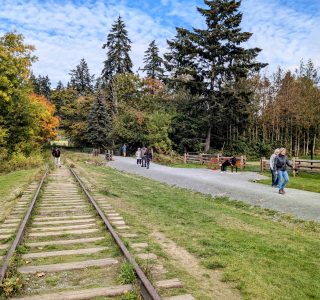
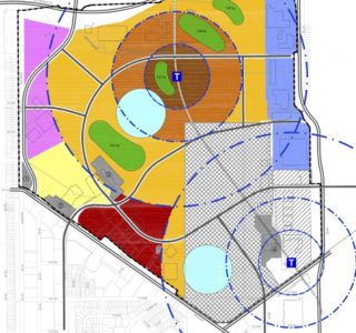
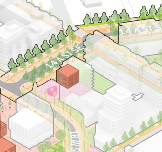
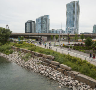
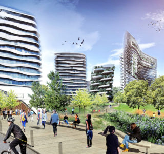
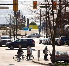
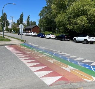
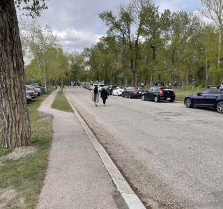
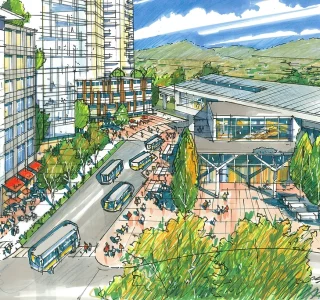
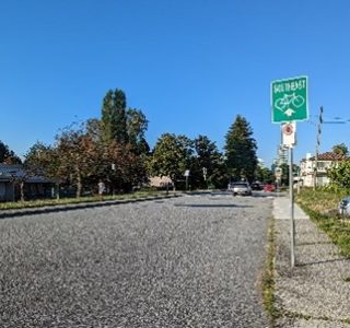
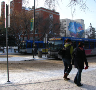
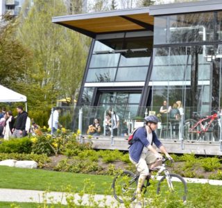
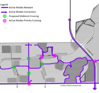
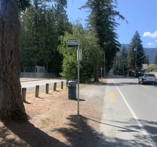
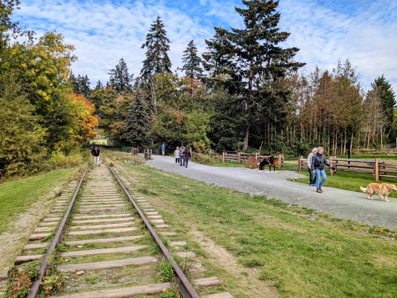
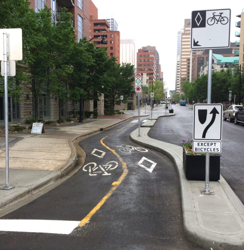
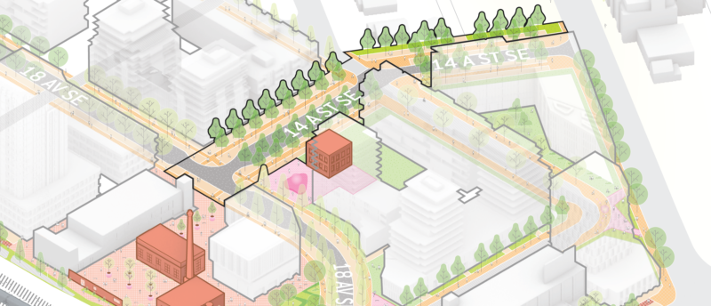
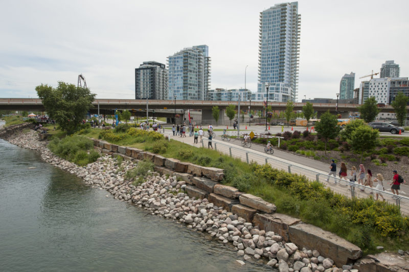
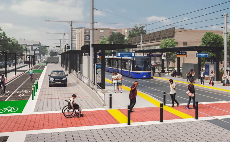
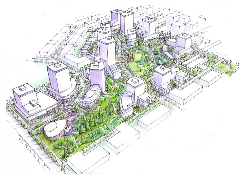
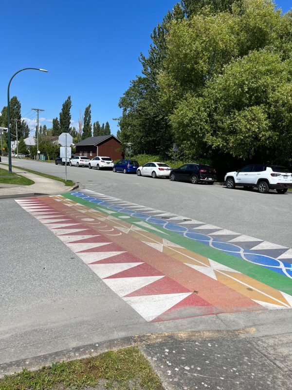
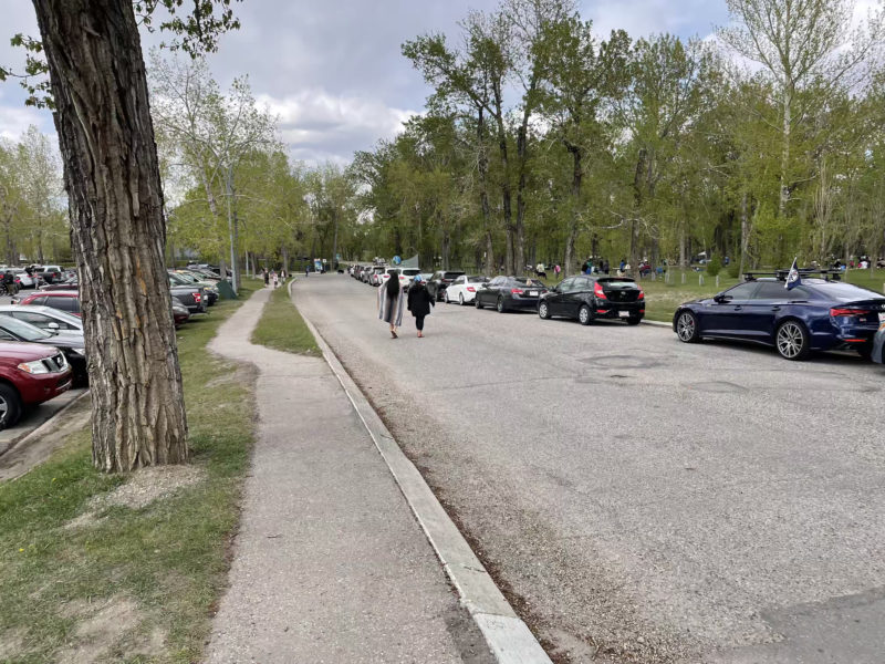
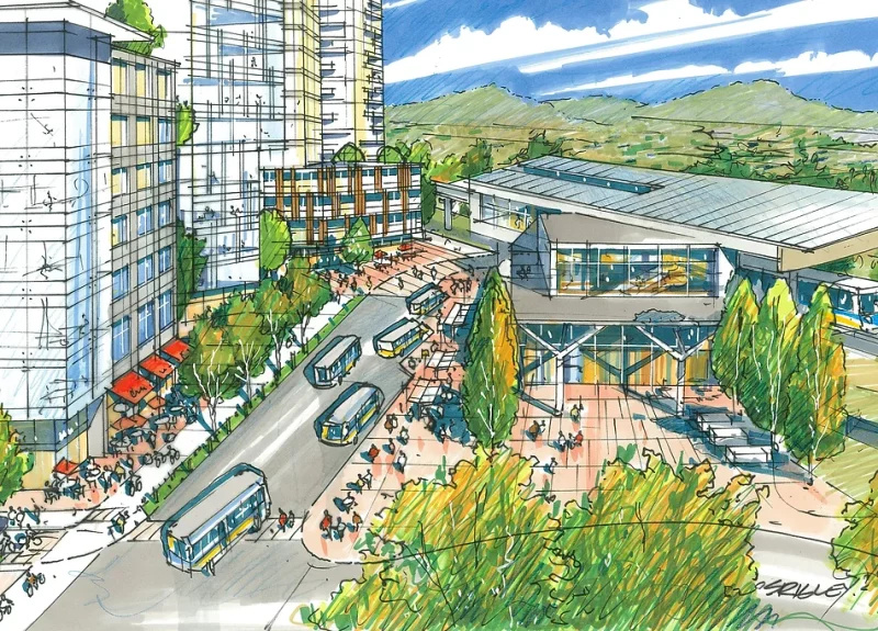
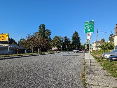
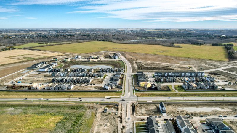
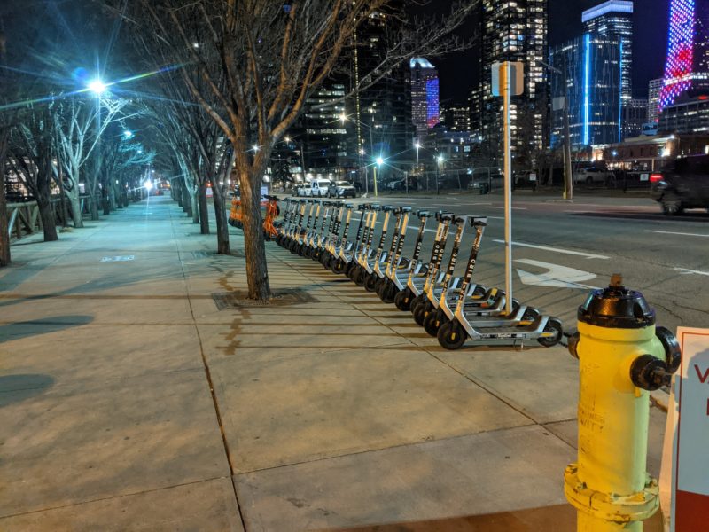
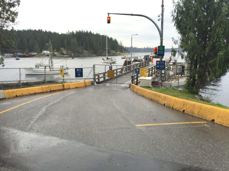
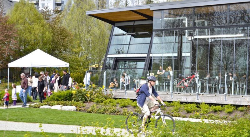
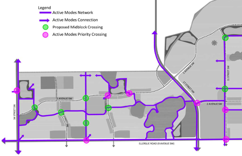
Sustainable Transportation Planning
Our innovative solutions include all aspects of transportation engineering, parking, sustainable transportation planning, safety, design, and public participation. We work with both public and private sector clients to help achieve highly livable communities.
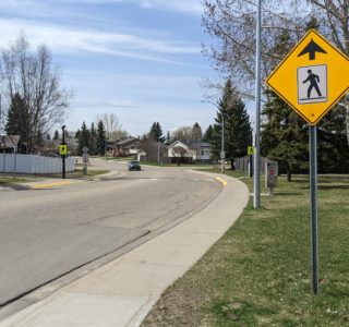
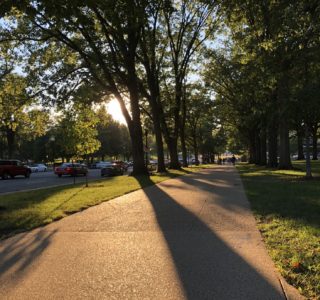
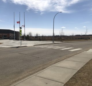
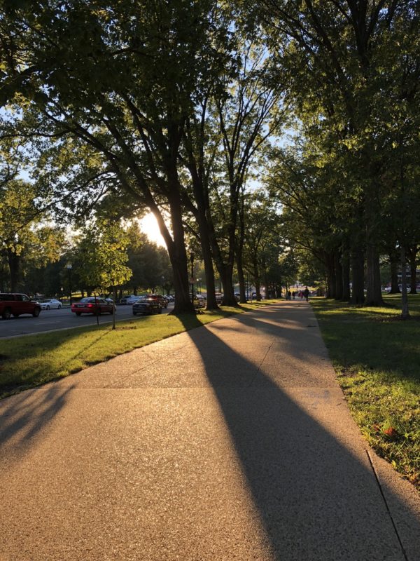
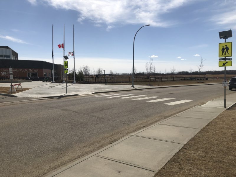
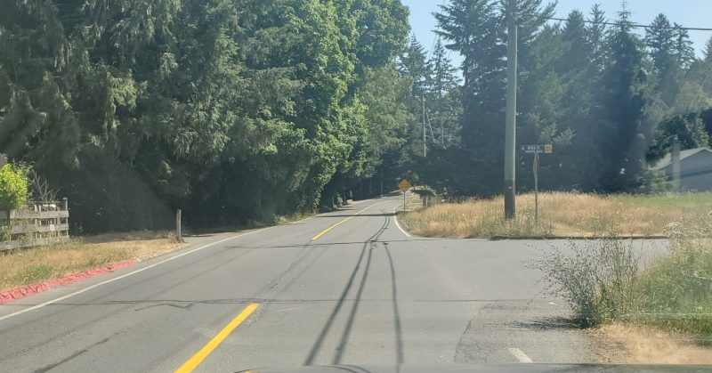
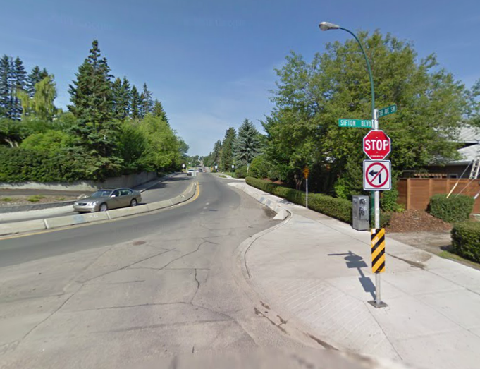
Safety
Our innovative solutions include all aspects of transportation engineering, parking, sustainable transportation planning, safety, design, and public participation. We work with both public and private sector clients to help achieve highly livable communities.
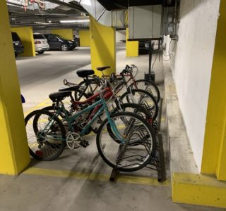
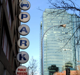
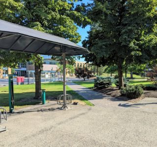
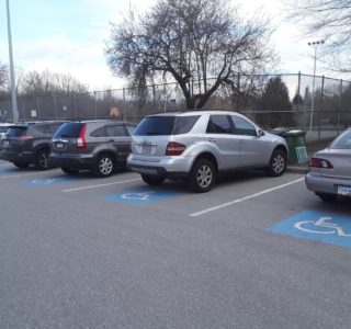
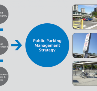
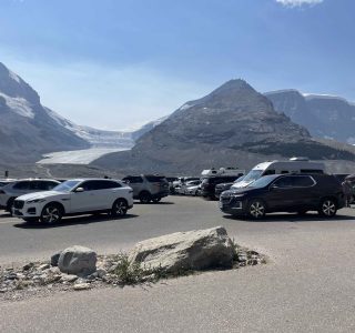
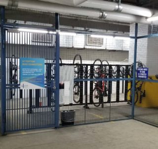
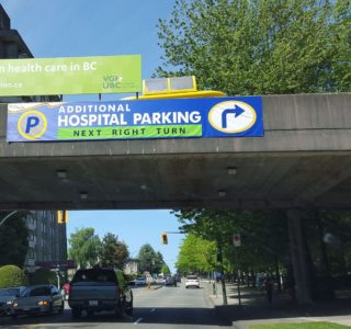
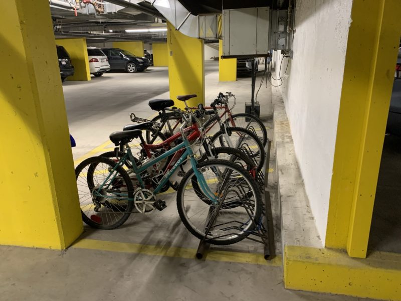
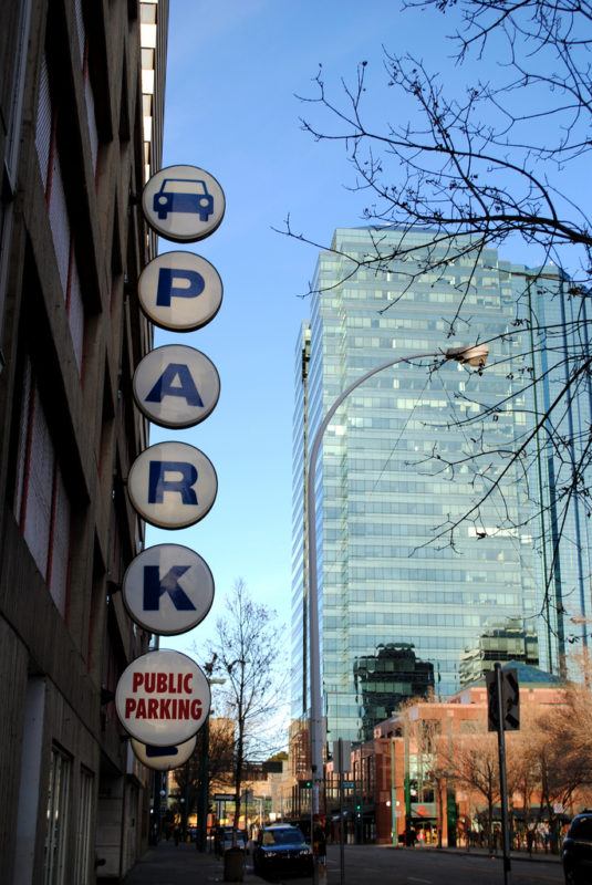
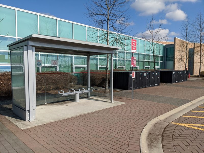
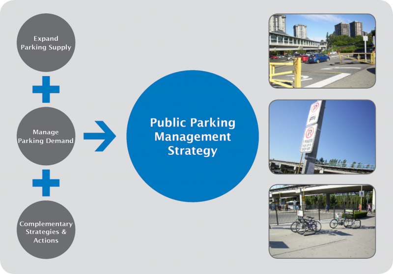
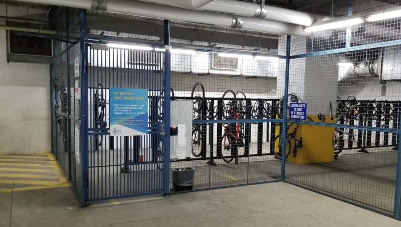
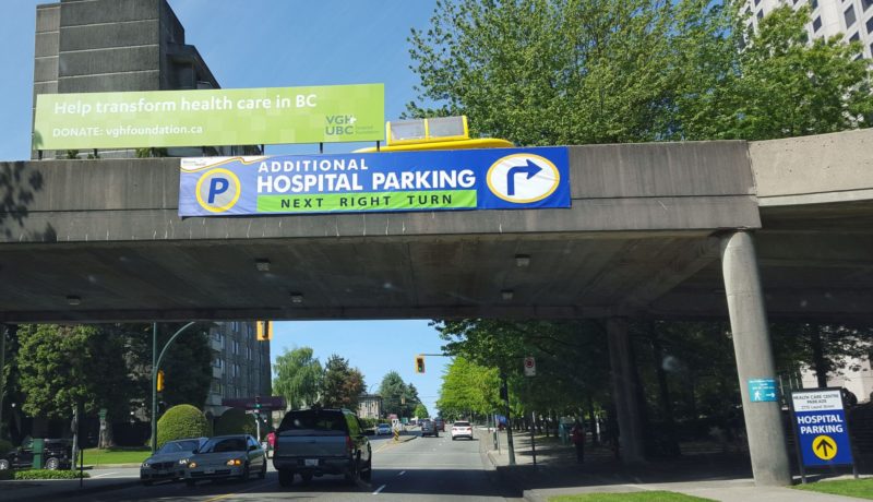
Parking
Our innovative solutions include all aspects of transportation engineering, parking, sustainable transportation planning, safety, design, and public participation. We work with both public and private sector clients to help achieve highly livable communities.
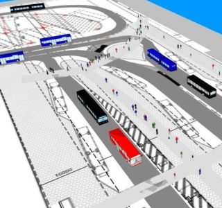
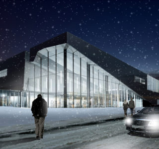
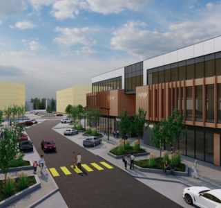
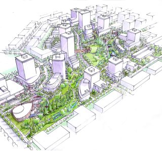
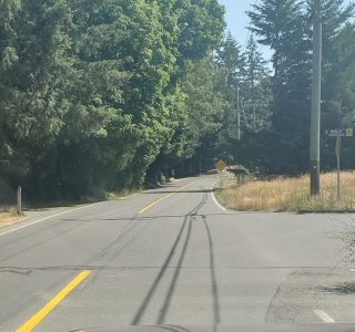
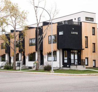
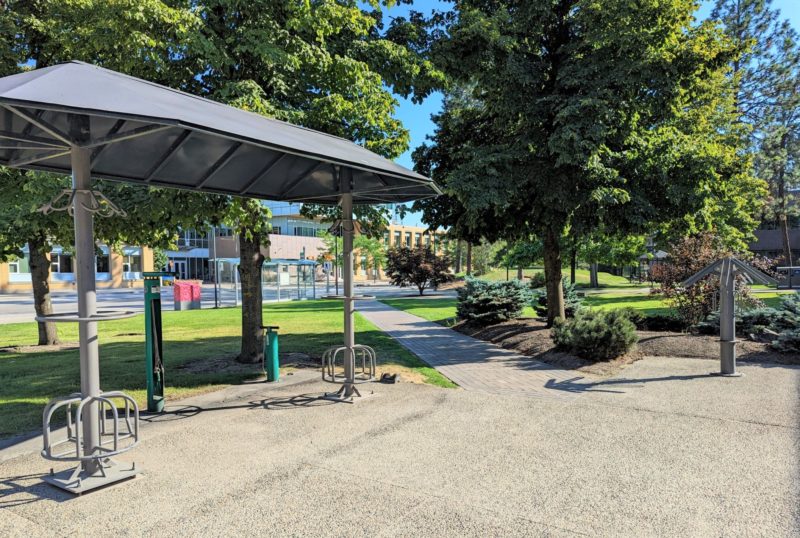
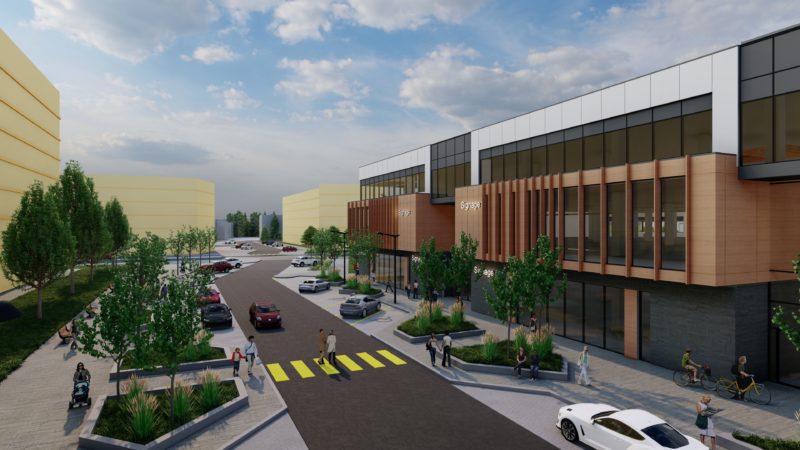
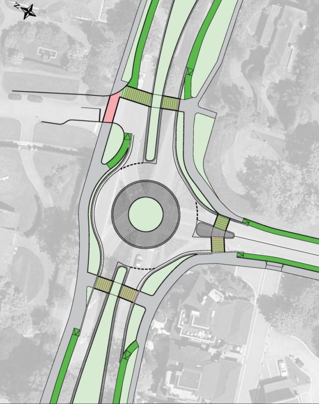
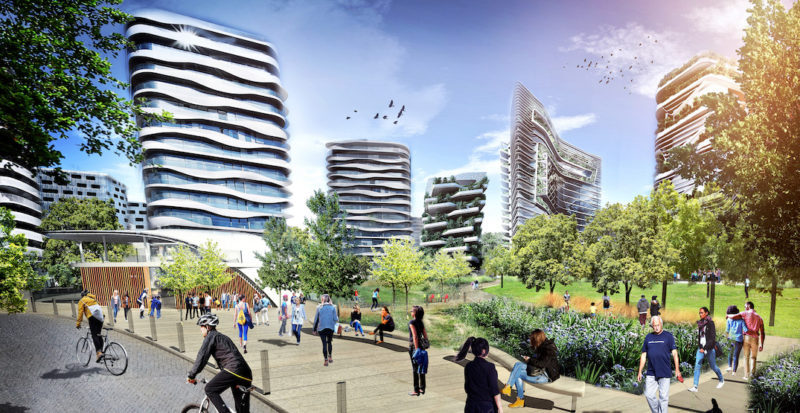
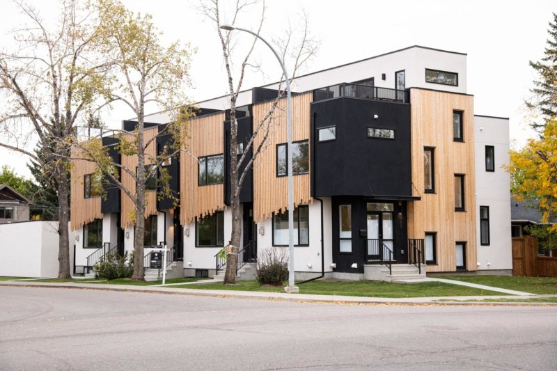
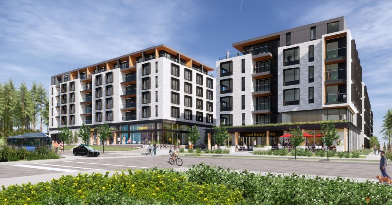
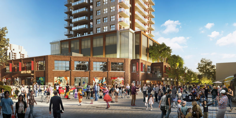
Design
Our innovative solutions include all aspects of transportation engineering, parking, sustainable transportation planning, safety, design, and public participation. We work with both public and private sector clients to help achieve highly livable communities.
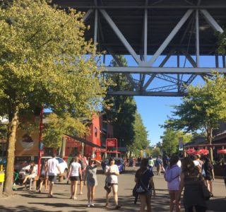
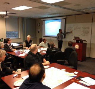
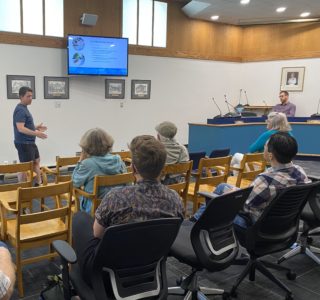
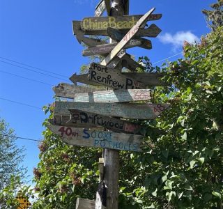
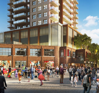
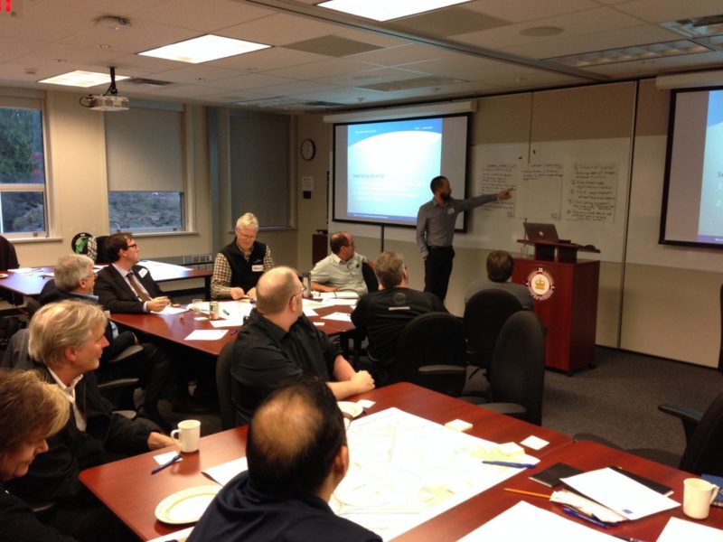
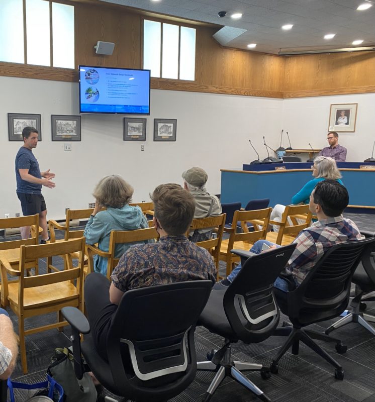
Public Participation
Our innovative solutions include all aspects of transportation engineering, parking, sustainable transportation planning, safety, design, and public participation. We work with both public and private sector clients to help achieve highly livable communities.
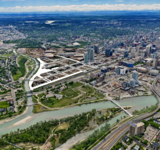
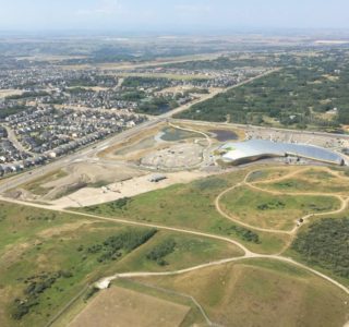
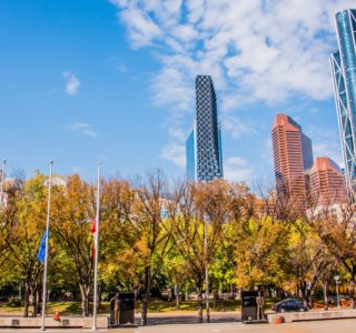
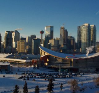
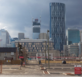
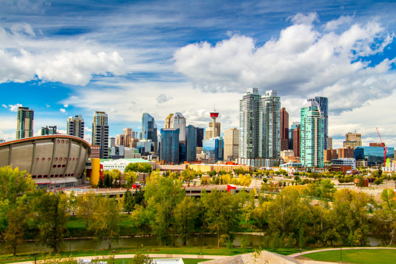
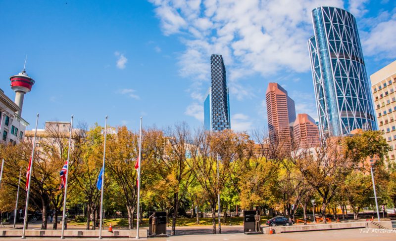
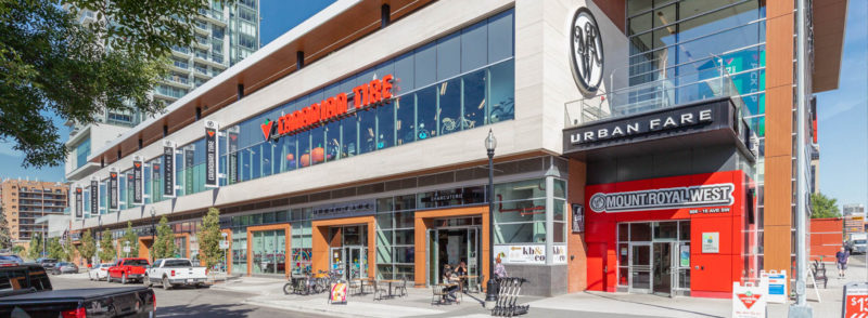
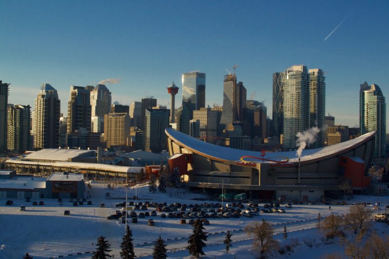
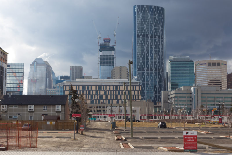
Bunt Calgary
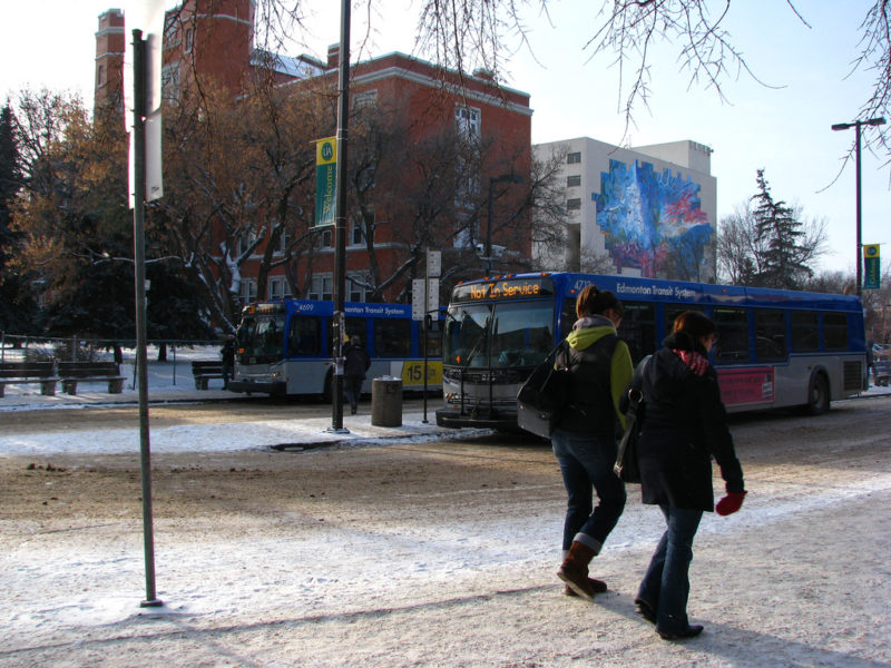
Bunt Edmonton
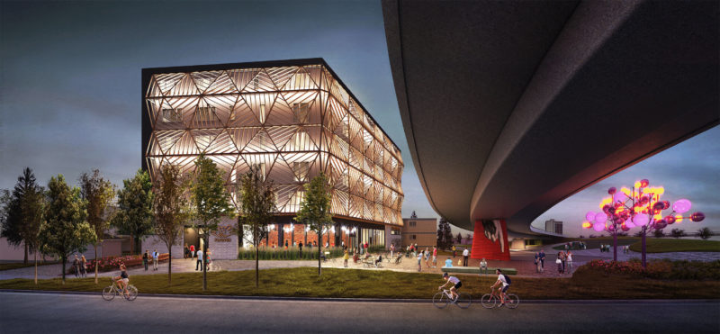
Bunt Vancouver
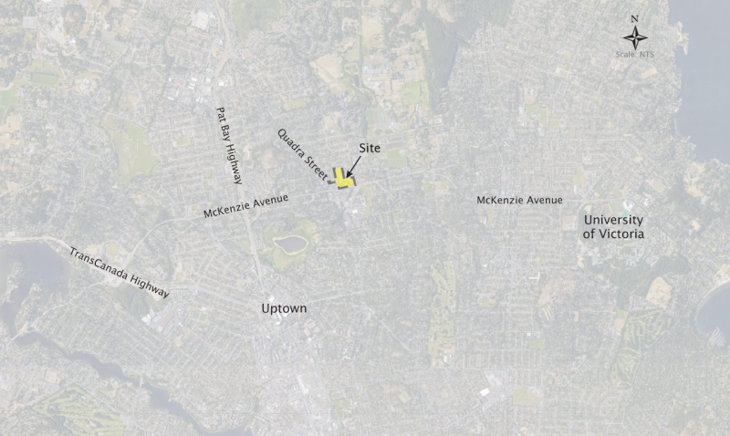
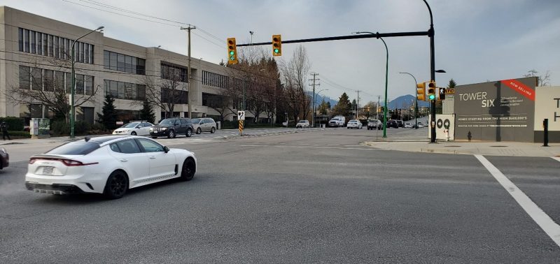
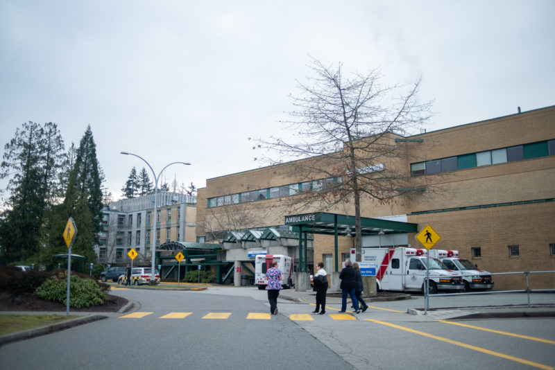
Bunt Victoria
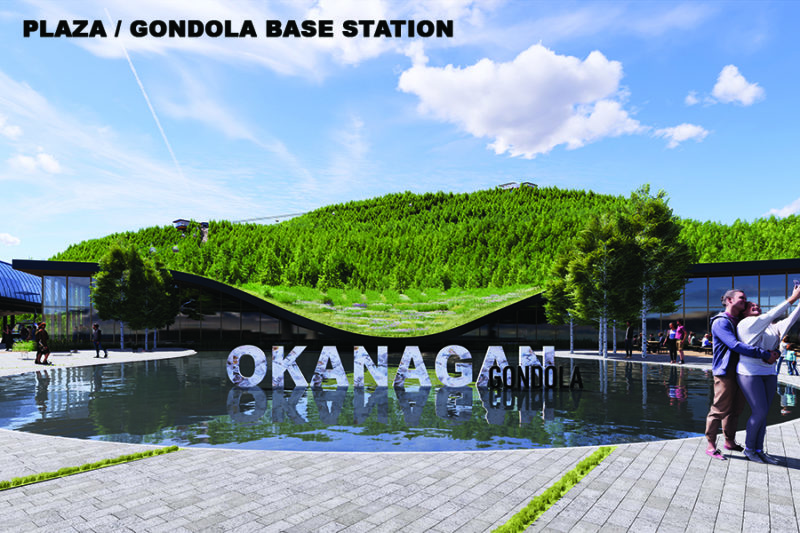
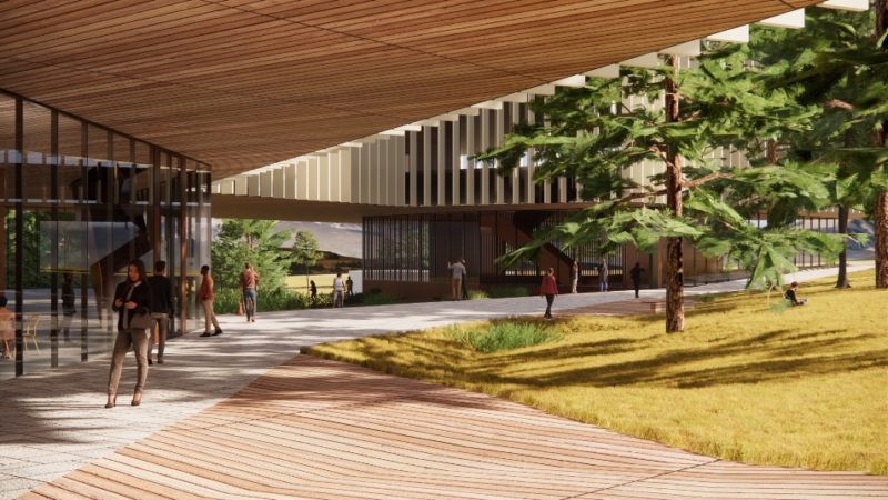
Bunt Kelowna